This hiking trail in the north of Kauai is not particularly long at 9km but the 750 meters of elevation gain is quite steep.
From the east coast in Kapaa, you drive Hwy. 56 (Kuhio Hwy.) in a northern direction. Not far past the posh town of Princeville, you cross the Hanalei Bridge. Turn left into Ohiki Road immediately after this bridge. Here you can visit taro fields. Taro is an ancient crop that was often grown in moist valleys in early Hawaii. It is a tuberous plant similar to potatoes and it is often featured in Hawaiian meals. The taro fields in Hanalei Valley, which are also a popular photo and postcard subject, are among the largest in the Hawaiian Islands.
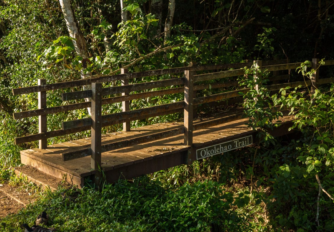
Take Ohiki Rd. to the gravel parking lot, where you can also park your car. The Okolehao Trail starts at a small bridge across the road that crosses a small river. The lower part of the trail is maintained by Hanalei National Wildlife Refuge, the higher part by Sierra Club Kauai. After heavy rains, the trail is not recommended because the red clay becomes very slippery. However, there are nets attached to the ground at the beginning to prevent slipping. At the edge of the trail are always mile markers, so you can estimate approximately how far you still have to go.
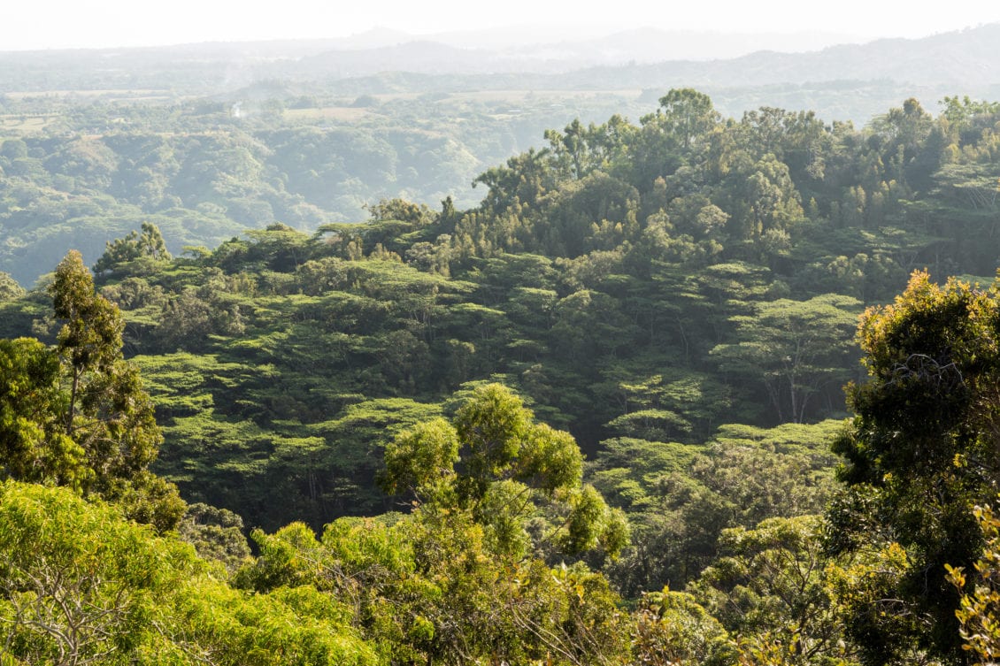
The trail is very steep and quite tough but you are rewarded with a green "Aloha" wooden bench and sensational views over the North Shore, Hanalei Bay and Princeville. You can have a wonderful picnic before the steep climb begins.
There are many Koa trees and False Staghorn fern growing. From there, the hike gets even steeper and the trail goes over large roots and forest vegetation. The trail also gets narrower and narrower and winds its way further up through lush vegetation. If it has rained the previous days, you can always see waterfalls pouring down the steep, overgrown cliffs of the mountains.
Theoretically, you can walk as far as you want depending on your condition. The surrounding green scenery is unique and the challenges are quickly forgotten.